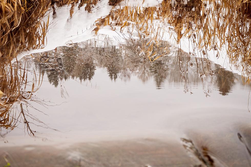
Bozeman Flood Watch Through Wednesday
Warm temperatures combined with heavy rain and snow in the high elevations could cause flooding in the Bozeman area.
The Flood Watch continues for a portion of southwest Montana...including all of Gallatin County through Wednesday afternoon
Melting of Mid-Mountain snowpack due to recent warm temperatures will continue through this afternoon. A Pacific weather system will produce one-half to one inch of liquid precipitation over the region tonight.
The precipitation will occur as rain at elevations below 9000 feet through early this evening before mixing with and changing to snow as snow levels fall to around 4000 feet Wednesday morning.
Rising water levels are possible on rivers and streams fed by mountain snowpack.
A Flood Watch means there is a potential for flooding based on current forecasts.
You should monitor later forecasts and be alert for possible flood warnings. Those living in areas prone to flooding should be prepared to take action should flooding develop.
More From The Moose 94.7 FM