
Bozeman High Wind Warning Until 5am Thurs 1/26/2012
Warm temperatures this morning and lots of wind. Here are the details on the warning:A High Wind Warning remains in effect until 5 am MST Thursday.
Timing and main impact: strong winds will continue through
tonight over much of north central and southwest Montana. Travel
will be difficult for high profile vehicles... especially on
north to south oriented roads.
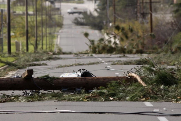
* Winds: southwest winds 30 to 45 mph... with gusts to 65 mph.
Isolated gusts near 75 mph will be possible near ridge tops.
* Other impacts: expect blowing snow in the mountains and the
adjacent foothills. Visibilities could be reduced to less than
a quarter of a mile at times.
* Locations affected include: Chester... White Sulphur Springs...
Battle Ridge Pass... Bozeman... Bozeman Pass... Stanford...
Lewistown... Lewistown Divide... Boulder... Boulder Hill... Elk
Park Pass... Homestake pass... Whitehall... Chinook... Big
Sandy... Fort Benton... Havre... Townsend... Great Falls... Kings
Hill Pass... Flesher Pass... Helena... Lincoln... MacDonald
Pass... Rogers Pass... Ennis... Norris Hill and Twin Bridges.
Precautionary/preparedness actions...
A High Wind Warning means a hazardous high wind event is expected
or occurring. Sustained wind speeds of at least 40 mph or gusts
of 58 mph or more can lead to property damage.
More From The Moose 94.7 FM


