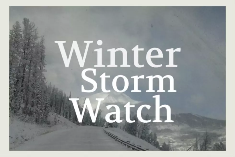
Bozeman Winter Storm Watch Wednesday Through Thursday
Tuesday should be beautiful but a storm system is moving into the area which will bring Bozeman snow on Wednesday and Thursday. Details here:
The National Weather Service in Great Falls has issued a Winter
Storm Watch for elevations above 5500 feet... which is in effect
from Wednesday morning through Thursday afternoon.
Timing and main impact: a series of Pacific weather disturbances
accompanied by significant moisture will bring periods of snow
to the area Wednesday and Thursday. Cooler air will also move
back into southwest Montana Wednesday night and Thursday.
Significant snow accumulations are possible in the mountains.
Snow accumulations: snow accumulations 5 to 10 inches at
elevations above 5500 feet. 1 to 4 inches possible below 5500 feet.
Winds and visibility: locally strong winds over passes and
along mountain ridges could create areas of blowing snow
that could reduce visibility to less than one half mile at
times.
Elevations: for elevations above 5500 feet.
Locations affected include: Battle Ridge Pass... Bozeman
Pass... Targhee Pass... West Yellowstone... Boulder Hill... Elk
Park Pass... Homestake pass... Big Hole Pass... Chief Joseph
Pass... Monida Pass... Raynolds Pass.
More From The Moose 94.7 FM