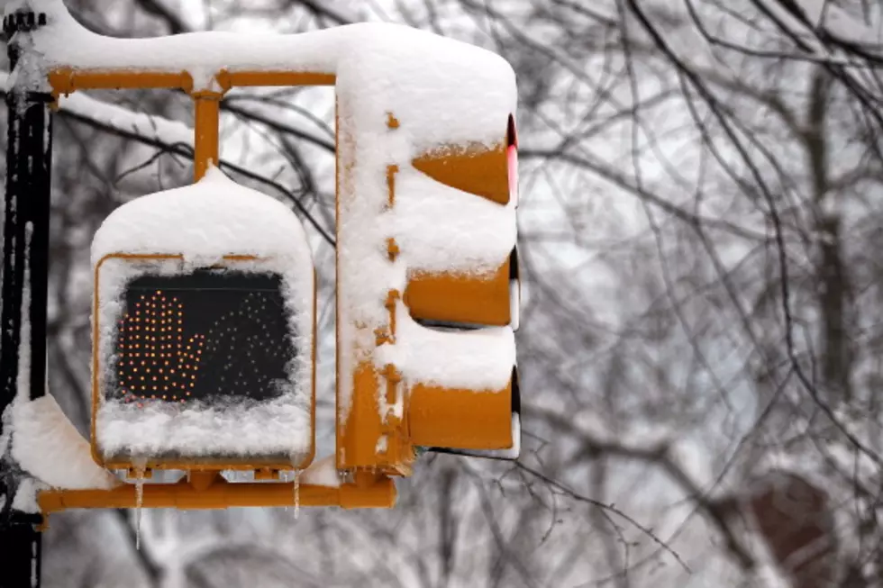
Bozeman Winter Weather Advisory For Snow Tuesday 3/6/12
Alright my powder loving Dude-Man-Bros.....after a beautiful Sunday and Monday, Tuesday could get nasty with snow and wind. How much? Details HERE:
A Winter Weather Advisory remains in effect from 5 am to 5 PM MST
Tuesday.
* Timing and main impact: snow and blowing snow will develop
over southwest Montana Tuesday afternoon and evening as a cold
front moves over the area.
* Snow accumulations: snow accumulations of 4 to 8 inches are
expected in the higher terrain with 1 to 4 inches in the
valleys.
* Winds and visibility: falling and blowing snow will reduce
visibilities to less than 1 mile at times.
* Other impacts:snow accumulating on untreated roadways could
become slippery and create additional hazards when combined
with reduced visibilities.
* Locations affected include: Battle Ridge Pass... Bozeman...
Bozeman Pass... Targhee Pass... West Yellowstone... Ennis...
Norris Hill... Raynolds Pass... Twin Bridges... Big Hole Pass...
Chief Joseph Pass... Dillon... Monida Pass.
Precautionary/preparedness actions...
A Winter Weather Advisory for snow and blowing snow means that
visibilities will be limited due to a combination of falling and
blowing snow. Use caution when traveling... especially in open
areas.
For specific Road and travel conditions in Montana... dial 5 1 1.
More From The Moose 94.7 FM


