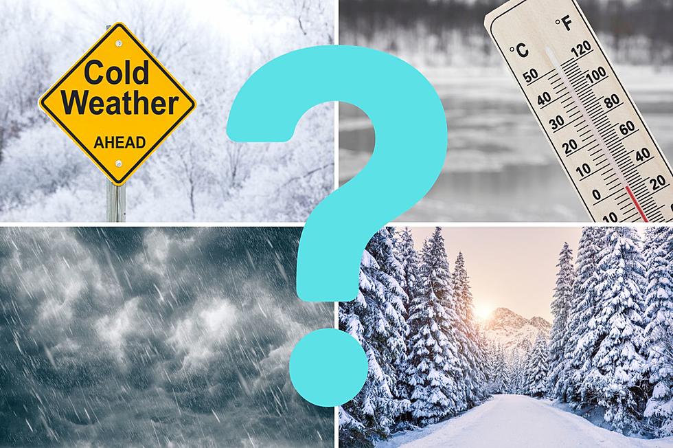
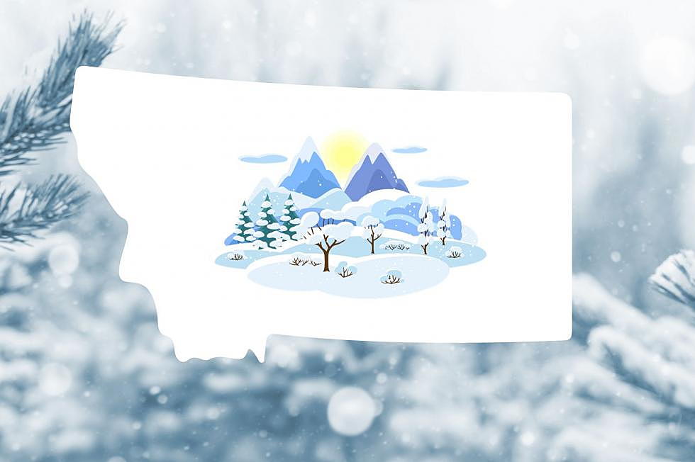
Soon winter will here in Montana and many of us are wondering what the season will bring. After a long winter last year, can we expect more of the same?
Living in Montana just got even better. Stacker came out with the Top 50 Coziest Winter Towns in the U.S. No surprise here, Montana made the list three times.
With winter just around the corner, what can we expect as far as winter weather this year in Montana and just how far away is the first significant snowfall?
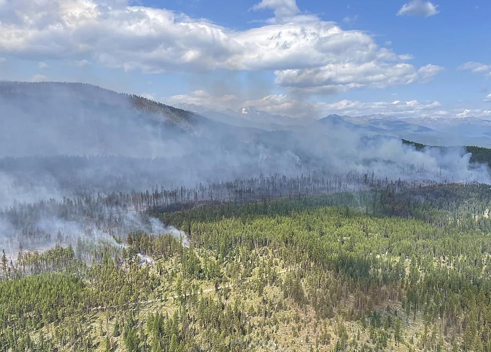
Very dry conditions, gusty winds up to 40 MPH, and the chance of lightning storms have created dangerous fire conditions across all of western Montana on Friday. Any wildfires that start today will be difficult to contain, so Red Flag Warnings have been issued across the western counties.
It's mid-day on one of the warmest days of the year, and I've driven by no fewer that half a dozen homes with their sprinklers on. It's not illegal to water your lawn, but their are rules and there is common sense - both of which are being ignored too often around Bozeman.
Wildfire smoke from Canada, and the smoke from fires within Montana dropped the Air Quality Index (AQI) in parts of Montana by dozens of points on Wednesday. Thursday isn't looking too promising either with Air Quality Alerts and Heat Advisories in effect for large portions of the state.
Red Flag Warnings have been issued for a large area covering Fort Peck Lake and the Missouri River on Thursday. Very dry conditions and gusty winds up to 40 MPH today make for extremely precarious conditions.
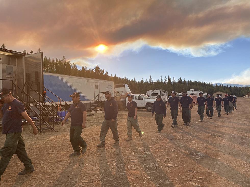
Montana has been surrounded by raging wildfires all summer and now we have plenty of our own to deal with. One of the most challenging aspects of these wildfires is the particulate filled smoke that they produce. It can stay localized in valleys or continuously blow into the state with the jet stream. How can you stay healthy if you're susceptible to breathing issues?
It's not the worst we've ever seen, but a few more unlucky lightning strikes and Montana's wildfire season could explode. We're currently battling 77 active wildfires and they are for the most part in remote, hard to fight areas, with plenty of timber and fuel to burn.
The cycle of warmer temperatures and afternoon showers and thunderstorms are prompting many Flood Watches across central Montana. Creeks, streams, and rivers are all at risk of flooding on Wednesday - travelers and recreationists are urged to use caution.
Keep vigilant this afternoon as storm cells move into the area again with over an inch of rain possible in some locations of southwest Montana including Gallatin County. Hail and gusty winds are expected along with these storms.