Dec. 20th Advisory | Gallatin National Forest Avalanche Center
Mountain Weather:
A fast moving storm deposited 10-12 inches of snow in the mountains around Cooke City and West Yellowstone totaling close to an inch of water. 4-5 inches has fallen in the mountains around Big Sky and 2-3 inches has accumulated in the Bridger and northern Gallatin Ranges. Winds are blowing constant at 15-25 mph out of the W-SW with stronger gusts reaching close to 50 mph. Mountain temperatures are ranging from the mid-teens to low twenties F. Today, snowy and windy conditions will persist with an additional 1-3 inches possible in the mountains by this evening. A ridge of high pressure will begin to build tonight into tomorrow bringing a break in the weather.
Snowpack and Avalanche Discussion:
The northern Madison Range and the mountains around Cooke City:
In the mountains around Big Sky buried surface hoar 1-1.5 feet below the surface can be found on certain aspects and elevations. Yesterday, Doug and I rode around Buck Ridge south of Big Sky and found this layer in two out of three snowpits. We got clean easy shears on this layer preventing Doug and I from skiing slopes steeper than 30 degrees (video, picture). This layer was present on north facing slopes ranging from 9,000 to 9,700 ft. However, this layer can be found on other aspects and elevations and should be looked for before riding steep terrain. This layer creates a challenge similar to walking on a frozen lake covered by fresh snow. If the ice or weak layer fails, you better have a plan and a partner to make sure you don't end up like a frozen popsicle.
Buried weak layers exist within the snowpack in the mountains around Cooke City. These weak layers are now being stressed by over a foot of new snow totaling over 1.5 inches of water (SWE), which has fallen over the past two days. Areas that have received recent wind loading have an even heavier burden to carry. Since all aspects and elevations are capable of having these layers, unpredictable and dangerous avalanche conditions exist. If you are heading into the backcountry, pay close attention to obvious signs of instability such as cracking and collapsing. These are Mother Nature’s clues indicating that instabilities exist and conditions are unstable.
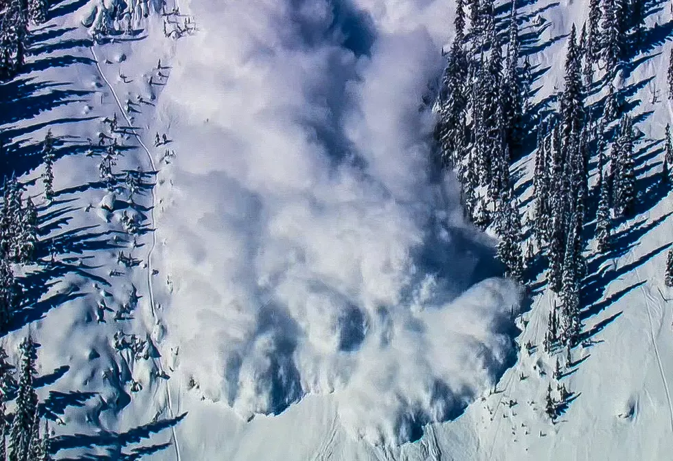
With new snow and wind pushing the snowpack to its breaking point, a HIGH avalanche danger exists on all wind loaded slopes. Slopes that have not received wind loading have a CONSIDERABLE avalanche danger.
The southern Gallatin and Madison Ranges, the Lionhead area near West Yellowstone and the Washburn Range:
The mountains near West Yellowstone, including the southern Gallatin Range, have picked up 8-10 inches of snow over the past two days. This latest round of snow has totaled 1.3 inches of water at the Madison Plateau Snotel site and .8 inches of water at the Carrot Basin Snotel site. Although these ranges lack widespread weak layers such as surface hoar, this fast and heavy load is enough to raise the avalanche red flag.
Avoiding high probability areas such as steep rollovers, avalanche run out zones, wind loaded slopes, and terrain traps is advised. In order to ski or ride in avalanche terrain safely today, cautious route finding and conservative decision making is essential. Today dangerous avalanche conditions exist and the avalanche danger is rated CONSIDERABLE .
The Bridger Range and northern Gallatin Range
Mother nature has left the Bridger and northern Gallatin Ranges sitting like two lonely cup cakes with just a smear of frosting. The lack of new snow has kept powder hounds hungry, but riding conditions remain good in many areas. If you do head into the backcountry pockets of instability can be found, requiring careful snowpack and terrain evaluation. Wind loaded slopes near upper elevation ridgelines are currently the most likely to produce avalanche activity and should be evaluated before riding.
With more snow and wind forecasted throughout the day, leeward slopes will load quickly producing unstable conditions. Today human triggered avalanches are likely in wind loaded terrain and avalanche danger is rated CONSIDERABLE. Areas that have not received wind loading have a MODERATE avalanche danger.
Doug will issue the next advisory tomorrow morning at 7:30 a.m. If you have any snowpack or avalanche observations, drop us a line at mtavalanche@gmail.com or call us at 587-6984.
Upcoming Avalanche Education
There are many upcoming avalanche classes in the month of January. Check them on our education page at: http://www.mtavalanche.com/workshops/calendar
More From The Moose 94.7 FM