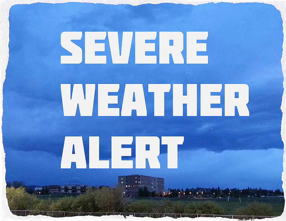
Strong Thunderstorms for Billings Tonight – Dime Sized Hail Possible
Many parts of Montana are experiencing strong thunderstorms tonight and Billings is now under a local weather alert with dime sized hail possible.
According to the National Weather Service:
- SIGNIFICANT WEATHER ADVISORY UNTIL 9:30PM MDT SUN
- AT 844 PM MDT... DOPPLER RADAR WAS TRACKING A STRONG THUNDERSTORM 10 MILES NORTH OF PRYOR... OR 14 MILES SOUTH OF BILLINGS... MOVING NORTHEAST AT 35 MPH.
- DIME SIZE HAIL AND WINDS IN EXCESS OF 40 MPH ARE POSSIBLE WITH THIS STORM.
- LOCATIONS IMPACTED INCLUDE... CROW INDIAN RESERVATION.
- PRECAUTIONARY/PREPAREDNESS ACTIONS...
- FREQUENT CLOUD TO GROUND LIGHTNING IS OCCURRING WITH THIS STORM. LIGHTNING CAN STRIKE 15 MILES AWAY FROM A THUNDERSTORM. SEEK A SAFE SHELTER INSIDE A BUILDING OR VEHICLE.
Severe Weather Alert - KMMS Bozeman
More From The Moose 94.7 FM