Fire Weather Watches have been issued for dangerous conditions in several northeast Montana counties because of high temperatures and very gusty winds.
Temperatures between 95 and 105 along with dangerous conditions exist through Monday night for Missoula, Butte, Bozeman, Helena, Billings, Great Falls and everywhere in between.
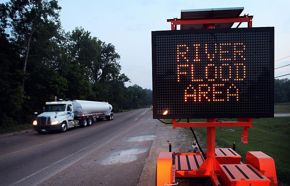
Most of southwest Montana is in a precarious position through at least Monday morning due to rainfall and swelling rivers and creeks. The Yellowstone River in particular is facing several issues including Flash Flood Watches.
Areas near White Sulphur Springs and Townsend are expected to receive heavy rainfall at times on Saturday, with possible flash flooding of the Woods Creek and Deep Creek burn scars.
Far southern Park and Gallatin Counties could see up to THREE FEET of fresh snow by noon on Tuesday in the high elevations. Lower elevations, including Yellowstone National Park will probably receive many inches of heavy, wet snow as well.
Highway driving will not be fun in Montana on Friday in places like Butte, Anaconda, Deer Lodge, Polson, Kalispell, Whitefish, Browning, Heart Butte, Shelby, Choteau and much of northeast Montana. Winds of 40 to 50 MPH will not be uncommon.
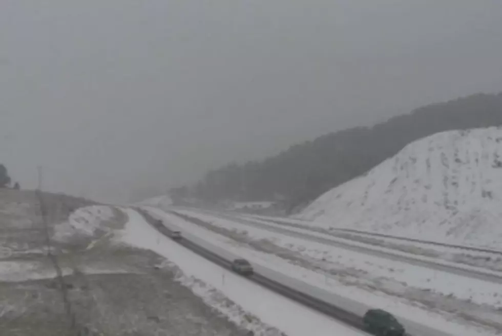
It's setting up for a dangerous night on southwest Montana roads with fresh snow on Friday and freezing temperatures on deck for Friday night and Saturday morning.