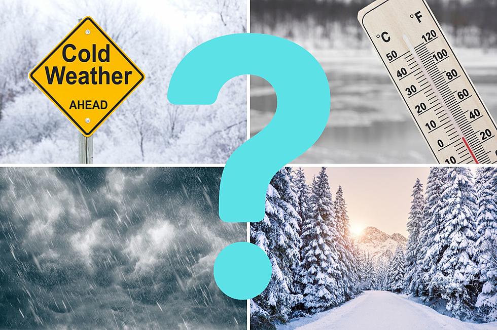
Winter is on it's way and that means Montana will be dealing with snow, ice, and all that winter brings. Where does Montana rank compared to other states?
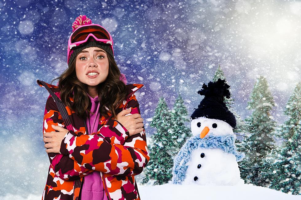
Soon winter will here in Montana and many of us are wondering what the season will bring. After a long winter last year, can we expect more of the same?
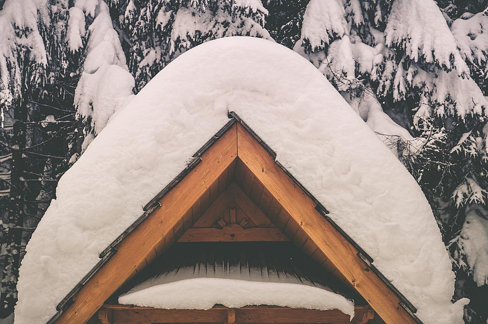
It won't be long before the snow starts flying in Montana. The state is known for its long harsh winters and subzero temperatures. The amount of snow the state receives varies from year to year, but one thing's for certain, Montana winters can be absolutely brutal...
Very dry conditions, gusty winds up to 40 MPH, and the chance of lightning storms have created dangerous fire conditions across all of western Montana on Friday. Any wildfires that start today will be difficult to contain, so Red Flag Warnings have been issued across the western counties.
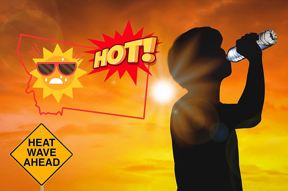
Wildfire smoke from Canada, and the smoke from fires within Montana dropped the Air Quality Index (AQI) in parts of Montana by dozens of points on Wednesday. Thursday isn't looking too promising either with Air Quality Alerts and Heat Advisories in effect for large portions of the state.
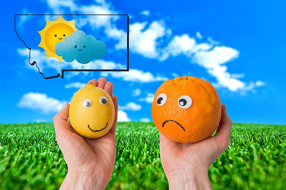
The cycle of warmer temperatures and afternoon showers and thunderstorms are prompting many Flood Watches across central Montana. Creeks, streams, and rivers are all at risk of flooding on Wednesday - travelers and recreationists are urged to use caution.