Only the highest elevations are supposed to get significant amounts of snow with this short-lived Advisory but driving in town and through passes could be hazardous at times with very slushy snow.
We're expecting another round of snow and wind in Bozeman and surrounding areas, especially the mountain passes. Up to 10 inches of snow may fall by Monday afternoon in the highest elevations.
The southern region of Gallatin County along the Montana/Idaho border is included in this weekend's Winter Weather Advisory. Mountain passes will experience hazardous travel conditions with up to 12" of snow possible.
The HIGHEST elevations could see up to a foot of fresh snow this weekend with a Winter Weather Advisory lasting from Friday evening through Sunday afternoon. Areas near the Montana/Idaho border should be the most affected. Gusty winds will play a factor in this front as well.
Southern Gallatin County is in for another round of snow (several inches possible) AND the wind to make travel difficult with another Winter Weather Advisory in effect until Monday night.
All of Southwest Montana is facing a Winter Storm Watch until 5pm on Wednesday with the the valleys facing up to 10 inches of snow and the mountains facing 20 inches possible!
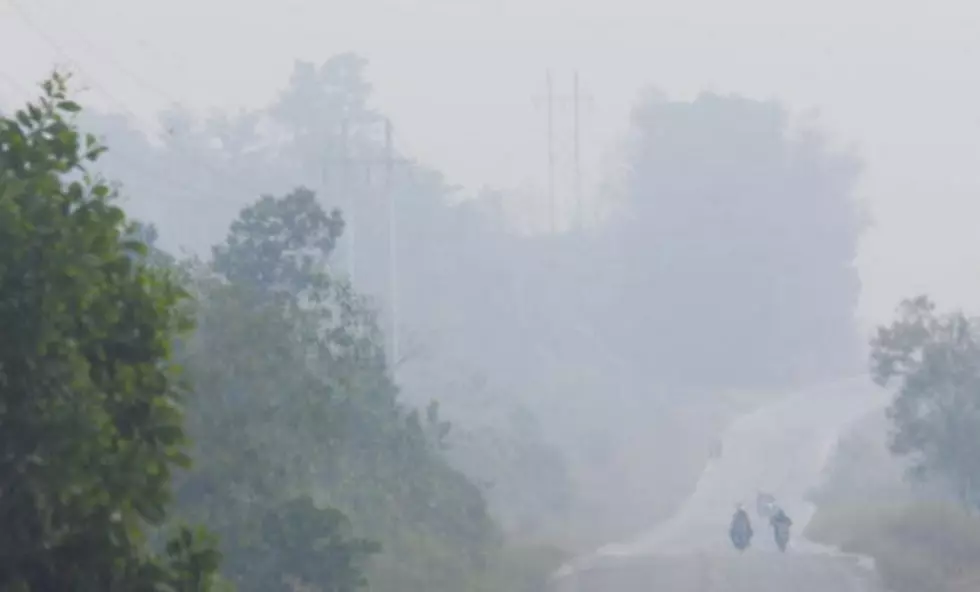
This weather front coming through Montana is causing dangerous wind chills and treacherous driving conditions. Extreme caution should be used if traveling in southwest Montana for the next couple of days.
Several inches of in-town snow, gusty winds and much colder temperatures are in the forecast for the Bozeman area. Travel could be extremely hazardous at times with blowing and drifting snow along with low visibility.
Gallatin County has been included in the long list of Weather Statements for the next 48 hours. Temperatures are going to drop dramatically and snow will fall, especially in the higher elevations.