Red Flag Fire Warning Until Midnight Tonight
This warning is in effect until midnight tonight for large parts of SW Montana below 6,000 feet.
Red flag warning remains in effect until midnight MDT tonight below 6000 feet...
Impacts: low humidities...warm temperatures... strong gusty winds...and wind shift with a cold front will create erratic fire behavior.
Affected area: in south central Mt fire zones...123...124...125...126...127 128. In south central Mt and north central WY fire zone....129.
- Counties affected: in central Mt...Golden Valley...Musselshell...Wheatland. In south central Mt...Big Horn...Carbon...park...Stillwater Sweet Grass...Yellowstone. In southwest Mt...Gallatin.
- Cold front: a strong cold front will move through the area late this afternoon into the evening. The front will move through Livingston around 5 PM and Billings around 8 PWind: southwest winds of 15 to 25 mph with gusts to 35 mph ahead of the cold front.
- Winds will turn west to northwest behind the front with gusts over 50 mph at times.
- Humidity: 15 to 25 percent.
- Temperatures: in the 60s and 70s.
Precautionary/preparedness actions...
A red flag warning means that critical fire weather conditions are either occurring now...or will shortly. A combination of strong winds...low relative humidity...and warm temperatures can contribute to extreme fire behavior.
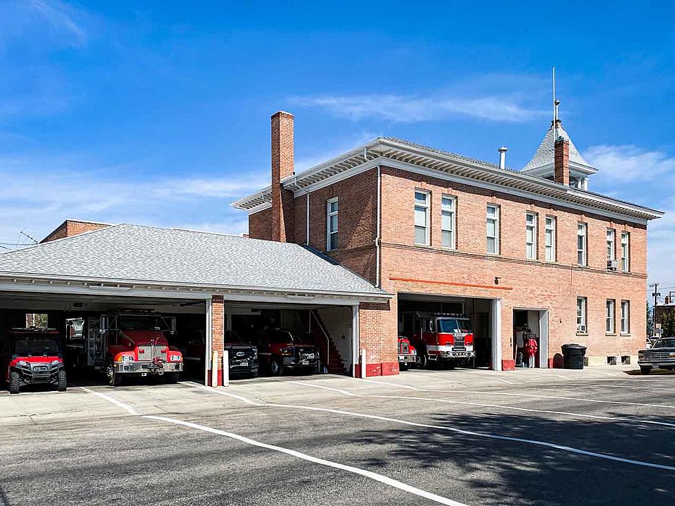
Livingston Fire June 10th 2012 - Photo by Courtney Lehman
More From The Moose 94.7 FM


