Gallatin and Broadwater counties are prone to Flood Advisories with all of our fantastic waterways. An advisory has been issued for our area through Friday evening.
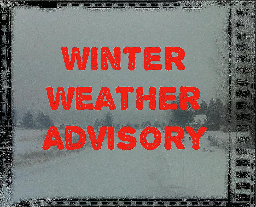
Several inches of snow fell overnight with showers continuing in Gallatin County Thursday. A Winter Weather Advisory is in effect for several counties until 7pm tonight.
Gallatin County will get up to 5" of snow and very gusty winds through Monday night until about 9am Tuesday morning. Even small amounts of snow combined with wind will create poor visibility.
Hopefully this next snowy front will dump significant snow in western Montana. Areas west of Whitefish to Missoula are expecting several inches of fresh snow by Thursday morning.
Snow and very gusty winds whipped up after a warm start to the day. Bozeman temps were in the upper 40s at the start of Tuesday, dropping rapidly at 9am.
Dangerous avalanche conditions exist in Montana's western mountain ranges: The southern Swan, southern Missions, Rattlesnake and the central and southern Bitterroot Mountains
Eight counties are under a Dense Fog Advisory until at least Saturday morning in northeast Montana. Very low visibility is creating dangerous driving conditions on top of already icy roads.
Poor air quality is developing in parts of western Montana due to very light winds and pollutants building up in the air, prompting an Air Stagnation Advisory.
Areas around Browning, Cut Bank and Choteau will be VERY windy on Monday with gusts up to 75 MPH at times. Dangerous traveling conditions may exist east of Glacier National Park.