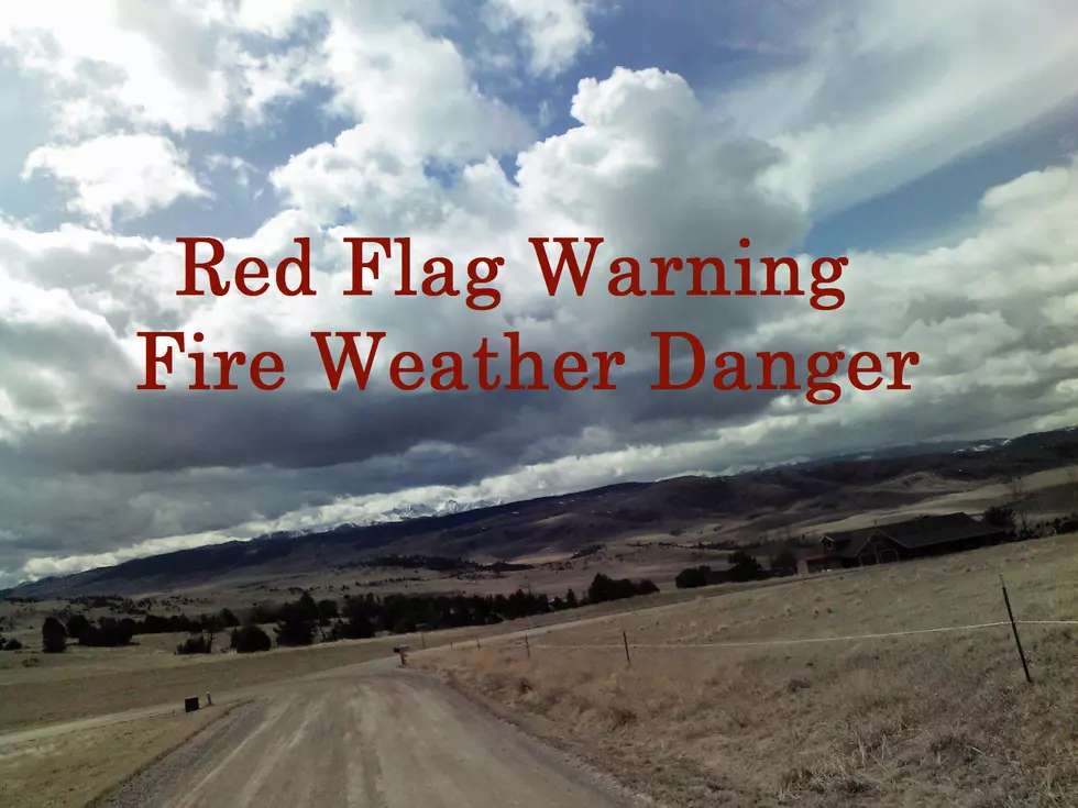
TUESDAY: Red Flag Warning for Bozeman and Areas East
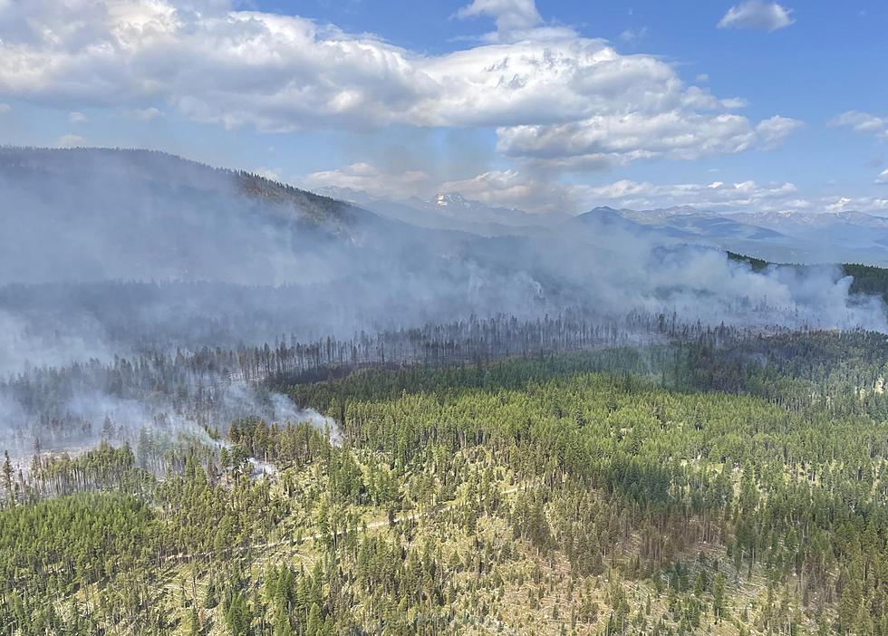
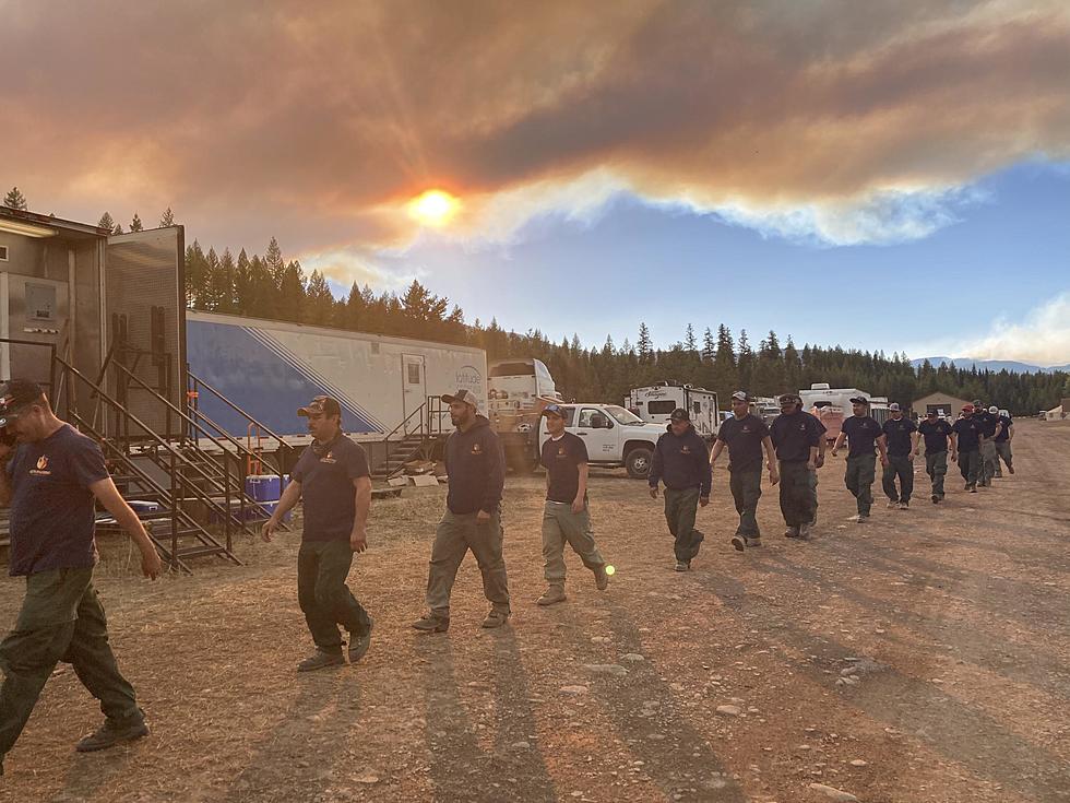
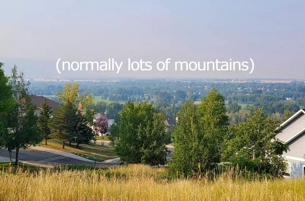
Dangerous conditions exist for Fire Weather again Tuesday, but thankfully much cooler, wet weather is on the way this week. Today, we need to remain vigilant with high temperatures and very low humidity.
Starting on Wednesday, we are expecting much cooler temperatures during the day...not just overnight. There is also a very decent chance of real rain for several days so keep your fingers crossed!
According to the National Weather Service:
- WHAT: A RED FLAG WARNING REMAINS IN EFFECT UNTIL MIDNIGHT TONIGHT.
- DETAILS: Low humidity, hot temperatures, gusty winds, wind shift with a cold front, and increasing thunderstorm activity will create erratic fire behavior.
- WHAT FIRE ZONE AREAS ARE AFFECTED WITH THIS WARNING: In South Central MT Fire Zones...123...124...125...126...127 128...129. In Southeast MT Fire Zones...130...131...132.
- COUNTIES AFFECTED: In Central MT...Golden Valley...Musselshell...Wheatland. In South Central MT...Big Horn...Carbon...Park...Stillwater Sweet Grass...Yellowstone. In Southeast MT...Custer...Powder River...Rosebud...Treasure. In Southwest MT...Gallatin.
- TEMPERATURES: Highs 94 to 102.
- HUMIDITY: From 9 to 19 percent.
- WIND: South to southwest 10 to 20 mph with gusts to 30 mph.
- THUNDERSTORMS: Scattered wet and dry thunderstorms are expected late this afternoon and evening.
- Storms may produce strong and erratic wind gusts that extend well away from the storms.
- A COLD FRONT IS COMING: Late Tuesday afternoon and evening a frontal passage will bring a shift to northwest winds with gusts of 30 to 45 mph.
- A Red Flag Warning means that critical fire weather conditions are either occurring now, or will shortly. A combination of strong winds, low relative humidity, and warm temperatures can contribute to extreme fire behavior.
KEEP READING: Get answers to 51 of the most frequently asked weather questions...
More From The Moose 94.7 FM