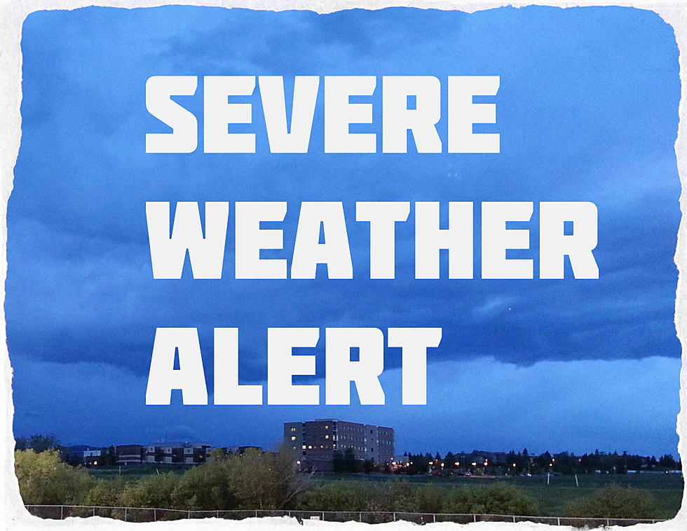
SW Montana: Flash Flooding Risk Remains Through Monday Night
Several counties in southwest Montana are expected to see much needed rain throughout Monday, however weather cells are slow moving and may produce more rain than small streams and streets can handle.
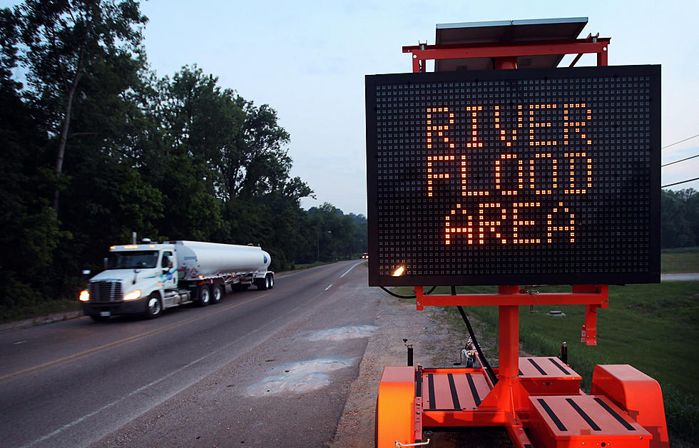
With southwest Montana's drought conditions, heavy rains (if they show up) can affect our roads, drainage systems and small streams quickly. If you encounter heavy rains, be very aware of your surroundings and avoid any roads that may flood.
It only takes a few inches of moving water on a roadway to move a car! Moving water can be extremely strong and also contain debris that can cause injury. "When is doubt, stay out!"
According to the National Weather Service:
- FLASH FLOOD WATCH REMAINS IN EFFECT UNTIL MIDNIGHT TONIGHT.
- WHERE IS THIS FLASH FLOOD WATCH: Portions of central and southwest Montana, including the following areas, in central Montana, Cascade and Meagher.
- In southwest Montana, Beaverhead, Broadwater, Gallatin, Jefferson and Madison.
- HOW LONG WILL THIS WATCH LAST: Until Midnight MDT tonight.
- DETAILS: Slow moving showers and thunderstorms capable of producing heavy rain may result in flash flooding, including debris flows from area burn scars.
- WHAT CAN HAPPEN WITH A FLASH FLOOD WATCH: Backcountry roads, particularly those vulnerable to flash flooding, may become impassable or cut off.
- NWS ADVICE: You should monitor later forecasts and be prepared to take action should Flash Flood Warnings be issued.
What exactly does a 'Flash Flood Watch' mean according to the experts? "Flood Watch: Be Prepared: A Flood Watch is issued when conditions are favorable for a specific hazardous weather event to occur. A Flood Watch is issued when conditions are favorable for flooding. It does not mean flooding will occur, but it is possible."
More From The Moose 94.7 FM