Yet another Winter Storm Watch is headed our way and this one is bigger than the last one. The high elevations could see up to TWO FEET of fresh snow with several inches falling in town.
Monday night, Tuesday and Wednesday could bring heavy, wet snow and wind to several parts of southwest Montana. Livingston, Big Timber and Red Lodge are all included.
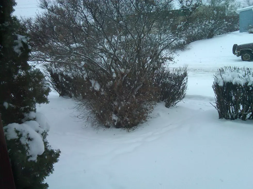
Snow started to fall in southwest Montana overnight with several inches on the ground by mid-morning on Monday and light snow continuing to fall in Bozeman.
Tuesday night and Wednesday could be pretty bad for road travel, even if we don't receive the 3 to 8 inches. It only take a little snow with 30mph gusts to make a mess of things.
Blustery conditions for the higher elevations around Bozeman with most snow falling above 6,500 feet. Gusty winds up to 30mph at times could make visibility very poor while traveling.
High elevations around Bozeman could see a foot of snow this evening, with visibility becoming very poor at times. Above 7,000 feet, this Winter Storm Warning lasts until 11pm tonight.
The wind has been far more brutal than the meager snowfall thus far in the Gallatin Valley. There is still a chance for a couple of inches to fall and the temperatures to be very cold tonight. Details here:
Up to a foot of snow in the higher elevations around Livingston, Montana could fall by Tuesday morning. Travelers and hunters should take precautions. Details here: