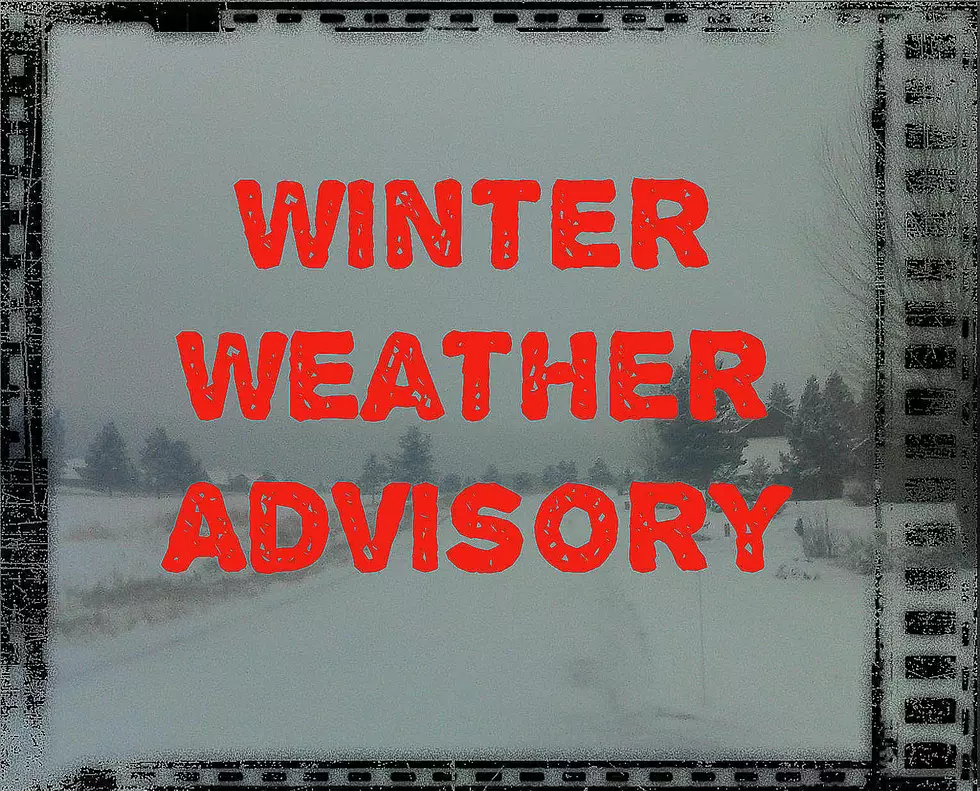
4 to 8 Inches of Snow, High Winds for Gallatin, Madison Counties
The Bozeman area may see some snow but the concern will be travel conditions for the canyon south towards Big Sky and West Yellowstone along with higher elevations.
According to the National Weather Service:
WINTER WEATHER ADVISORY REMAINS IN EFFECT FROM 11 TUESDAY TO 5 PM WEDNESDAY.
- WHAT...Snow expected. Total snow accumulations of 4 to 8 inches above 6000 feet, are expected. Less than one inch of snow accumulation in the Gallatin Valley. Winds gusting as high as 40 mph on Wednesday.
- WHERE...Southern Madison and Gallatin Counties, which includes the West Yellowstone Area, Reynolds Pass, and Targhee Pass.
- WHEN...From 11 PM this evening to 5 PM MST Wednesday.
- Travel could be very difficult. Areas of blowing snow could significantly reduce visibility.
- The latest road conditions for the state you are calling from can be obtained by calling 5 1 1.
More From The Moose 94.7 FM


