Ugh. We've been plagued by gusty winds all week. It appears that a High Wind Watch will continue for several southwest Montana counties through Saturday night with gusts up to 60 mph.
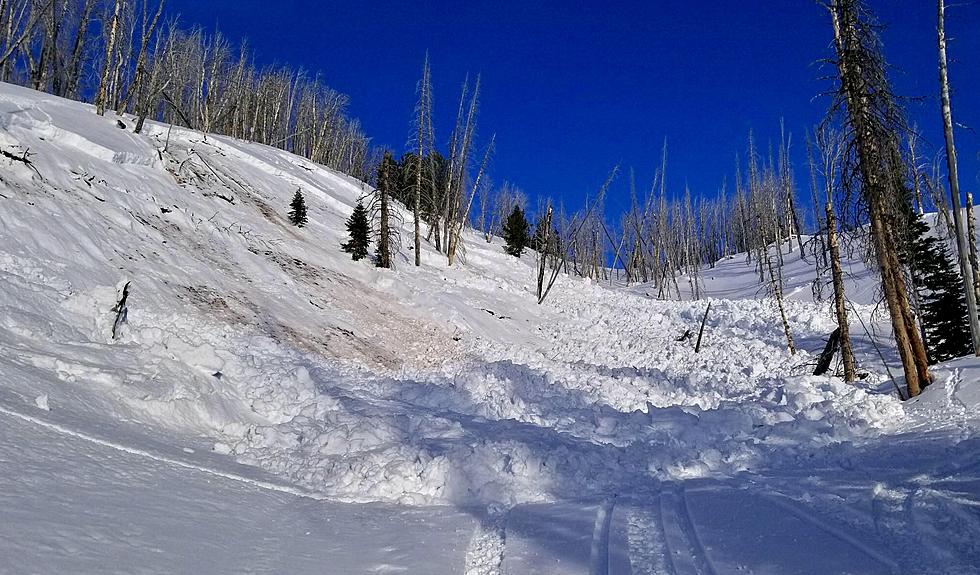
Gallatin County and Montana as a whole is home to some of the most talented avalanche specialists in the country. The Gallatin National Forest Avalanche Center is based in Bozeman but here you'll find information on all things "Montanan Avalanche".
Wind gusts of 60 to 80 mph may pummel at least 25 Montana counties through Tuesday morning. A huge section of the state is under a High Wind Warning or Wind Advisory.
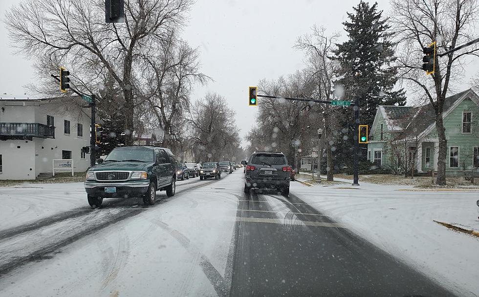
The roads are way more slick than you think today. Dozens of crashes and slide-offs are affecting travel on the I-90 corridor. Please know that commute time is going to require patience.
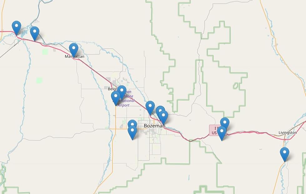
Tuesday night and Wednesday morning will be quite messy for several counties in southwest Montana. Gallatin, Madison and Beaverhead Counties are all under a Winter Weather Advisory.
Whoa. Cut Bank, Browning, Heart Butte, and Choteau are going to see some crazy wind gusts through Friday morning. Please use extra caution if you're traveling through any of these areas.
So, what are we looking at as far a the upcoming winter goes? I'll be honest, I don't necessarily trust weather folk. I mean, let's be honest, name me another job that you can be wrong like 60 percent of the time and still keep your job?
60 MPH wind gusts will be plaguing the Livingston area and the I-90 corridor through Wednesday evening. Travel may be dangerous at times so extra caution and slower speeds are a must.
Fall. Winter. Fall. Winter. 'Tis the dance Montana generally does through the month of October. High elevations in southwest Montana could see up to 10 inches of fresh snow by Tuesday morning...so I guess that means we're back to winter!
![[Watch] Montana Winds Hit OVER 130 MPH? Yes They Do](http://townsquare.media/site/12/files/2021/12/attachment-khamkeo-vilaysing-WtwSsqwYlA0-unsplash.jpg?w=980&q=75)