Missoula Rivers Are Running High, Fast, and Cold
National Weather Service Meteorologist Jen Kitzmiller said on Tuesday that temperatures could look very different in the next few days.
“We're kind of continuing to ride the weather roller coaster so to speak,” Kitzmiller said. “Today we're looking at highs in the low 50s. By Friday, we're going to be looking at highs in the low 90s. So quite a warm up coming with this high pressure ridge building in. It is going to bring drier weather so we'll taper off the moisture, which is good news for our rivers overall. However, we will continue to, with those warming temperatures, melts and snows.”
Missoula may not experience any river flooding anytime soon, but that doesn’t mean the rivers are the safest place to be right now.

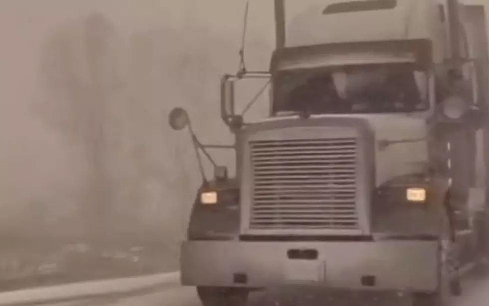
“Rivers in the area for the time being around the Missoula Valley area are expected to continue to run high and fast,” Kitzmiller said. “For the next few days, we're not really expecting impacts as far as flooding goes, but those rivers are going to continue to run high, fast and cold. That is another thing to keep in mind. Anyone that's planning on recreating should be aware that with those water temperatures, it doesn't take much time for hypothermia to set in.”
According to Kitzmiller, there is still an abnormal amount of moisture in the upper elevation right now.
“We are still running with more moisture than we would typically expect this time of year remaining in the snowpack,” Kitzmiller said. “It's mainly in the upper elevation. You have to get up above 6000 feet before there's still much lingering snowfall. We are running above normal for this time of year. We're running at about 240% of normal for where we would normally be this time of year.”
Kitzmiller said another wet weather system could arrive sometime next week and that could bring some issues, but it is too early to tell right now.
“I do think it's worth keeping an eye on early next week,” Kitzmiller said. “We are seeing indications of another wet weather system coming in and depending on where that ends up, it could bring another round of precipitation. If that was to occur in this general vicinity, it could maybe bring some issues, but there's still some question marks on where that weather systems is going to move in. I think for now, it's just a kind of watch and see how things evolve.”
To stay up to date on all the flooding issues around the state, click here.
LOOK: The most extreme temperatures in the history of every state
Gallery Credit: Anuradha Varanasi
LOOK: The most expensive weather and climate disasters in recent decades
Gallery Credit: KATELYN LEBOFF
TIPS: Here's how you can prepare for power outages
More From The Moose 94.7 FM