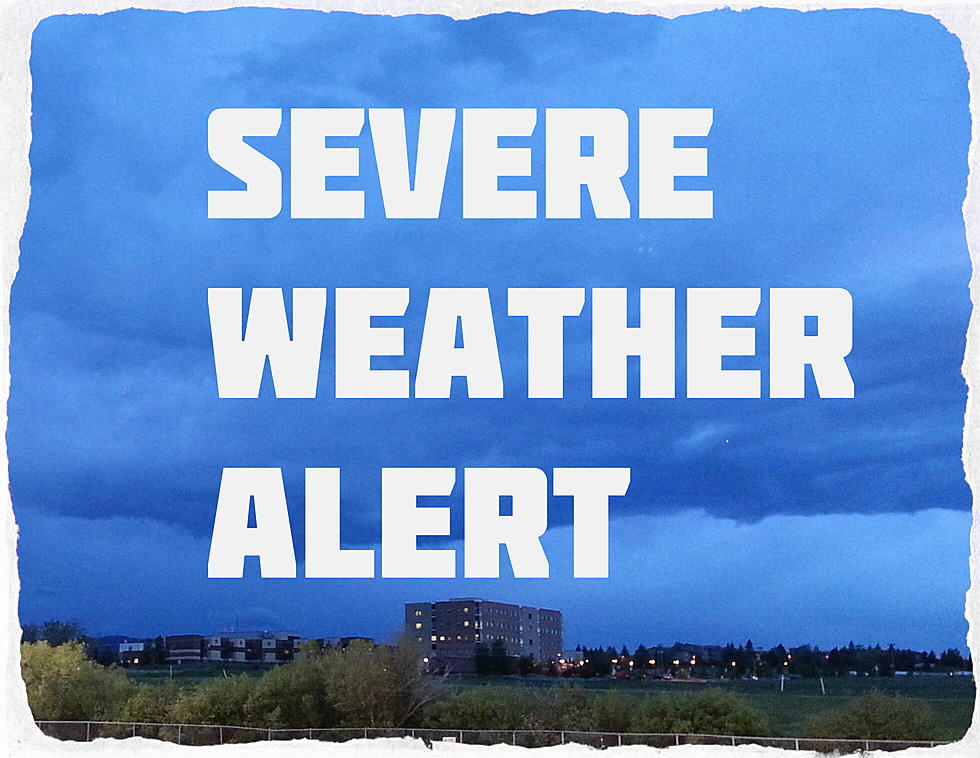
ALERT: Severe Thunderstorms Tuesday Afternoon
Counties in southwest Montana should prepare for VERY gusty winds and up to 1/2" hail. Strong storm cells are passing through several counties, including Gallatin and Madison counties.
According to the National Weather Service:
- THE NATIONAL WEATHER SERVICE HAS ISSUED SEVERE THUNDERSTORM WATCH IN EFFECT UNTIL 9 PM THIS EVENING
- Cities included: BATTLE RIDGE PASS, BELT, BIG SANDY, BOZEMAN, BOZEMAN PASS, CARTER, CASCADE, CHESTER, CHINOOK, FORT BENTON, GRASS RANGE
- GREAT FALLS, HARLEM, HAVRE, HAYS, HOBSON, KINGS HILL PASS, LEWISTOWN, LEWISTOWN DIVIDE, MARTINSDALE, RAYNESFORD, ROCKY BOY, RUDYARD, STANFORD
- TARGHEE PASS, WEST YELLOWSTONE, WHITE SULPHUR SPRINGS, WHITLASH, AND WINIFRED.
- Cloud to ground lightning
- Winds in excess of 40 mph and half inch hail are possible with these storms
Severe Weather Alert - KMMS Bozeman
More From The Moose 94.7 FM


