Big Scary Snow: Montana Avalanche Danger Really High
Yet another round of big snow has fallen on southwest Montana, hitting the southern mountains especially hard with another foot of snow. An Avalanche Warning has been issued again by the Gallatin National Forest Avalanche Center, as the danger of triggering a deadly avalanche is high.
According to this latest Warning from the Gallatin National Forest Avalanche Center, in the last 24 hours 7” fell in the Bridger Range and in Hyalite, 3” around Big Sky, 7” in Taylor Fork and 12+” in Cooke City, West Yellowstone and Island Park.
- The GNFAC is issuing a Backcountry Avalanche Warning for the mountains around Cooke City, the Lionhead area near West Yellowstone, and Island Park, ID.
- A foot of snow has fallen in the last 24 hours with blustery wind.
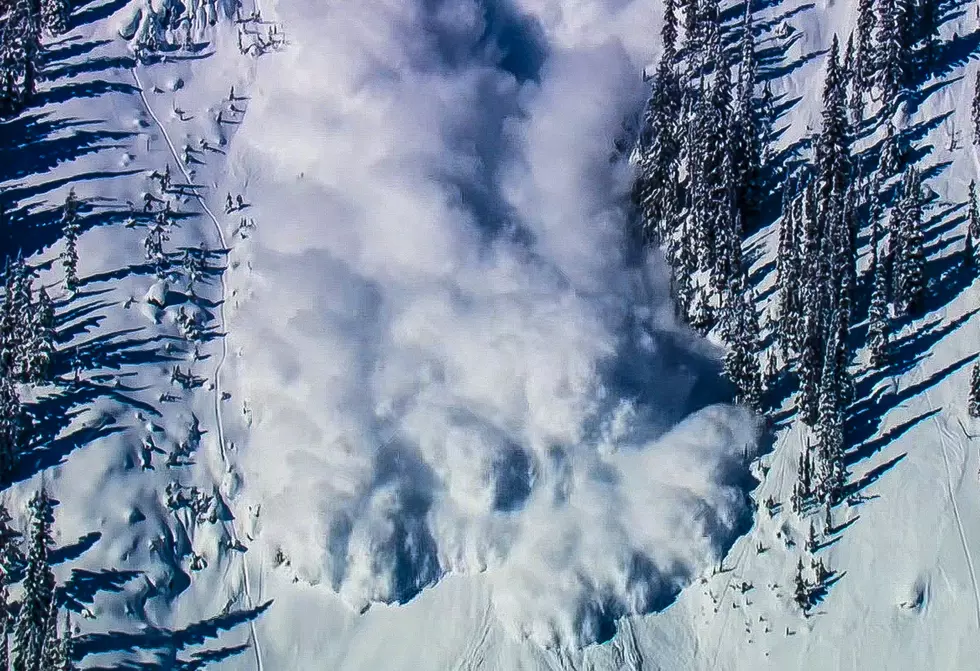
- The snowpack is weak and the new snow and wind-loading are creating very dangerous avalanche conditions.
- Human-triggered and natural avalanches are likely.
- Avoid avalanche terrain and avalanche runout zones.
- The avalanche danger is HIGH on all slopes.
- This forecast does not apply to operating ski areas.
- This warning will expire or be updated by 6:00 a.m. on Thursday, March 7th.
IMPROVEMENT IN MONTANA'S SNOWPACK LEVELS
Since Friday these mountains have received 3.6”-4.7” of snow water equivalent. This is a lot of weight! It translates into 4-5 feet of snow. The snowpack is weak and strong wind has loaded slopes even further.
Avoid all avalanche terrain including flatter areas underneath steeper ones. Don’t mess around. Slopes that previously avalanched are avalanching again. The danger is rated HIGH on all slopes.

Vladimir Putin's U.S. Nuclear Targets Uncovered
The 6 Most Underrated Small Towns in Connecticut
9 Reasons Coloradans Don't Like Colorado
Gallery Credit: Dave Jensen
More From The Moose 94.7 FM


