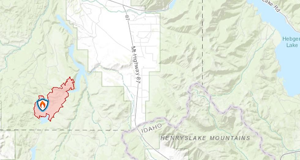
Goose Fire Closure Map: 2,200+ Acres Burning Around Cliff Lake, Expected to Grow
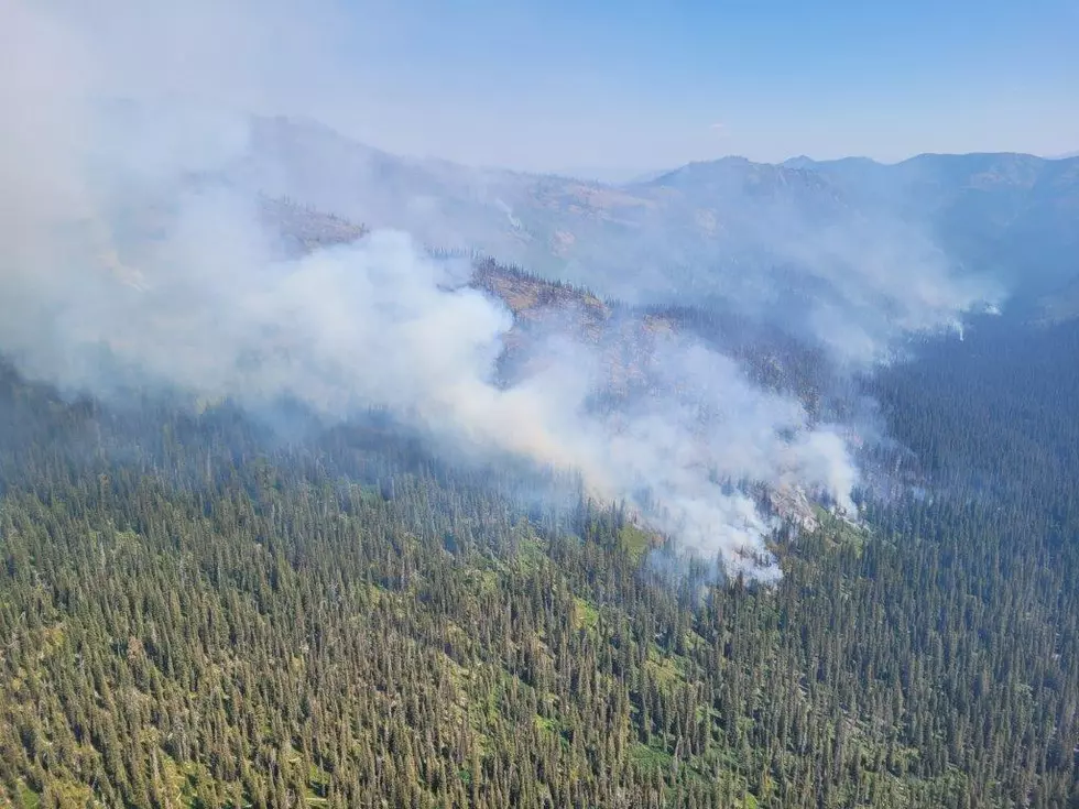
One of southwest Montana's most beautiful places is on fire. It has doubled in size in the last 24 hours. More than 2,200 acres between Hidden Lake and Cliff lake are burning with the cause still unknown. The whole area of Cliff Lake, Wade Lake and Hidden Lake are now closed to the public.
Details on the Goose Fire are below the closure map but here's what we know about the new closure for the fire area...
According to the USDA and the Forest Service: "This order will be in effect from July 12, 2021, and shall remain in effect until August 31, 2021, or until the order is rescinded, whichever occurs first."
- Information Current as of: 7/12/2021 at 7:24 AM
- Fire Type: Wildfire
- Cause: Unknown
- Fire Start Date: Thursday July 1st, 2021 at approximately 10:10 AM
- Location of Wildfire: 32 miles SSE of Ennis, MT near Hoodoo Pass
- Exact Location Coordinates: 44.733 latitude, -111.6 longitude
- Total Personnel: 170
- Size of wildfire as of July 12th, 2021: 2,214 Acres
- Estimated Containment Date: Wednesday October 13th, 2021
- Fuels Involved: Timber (litter and understory), Timber (grass understory), Brush
- Significant Events: Active, flanking, backing, isolated torching
Sadly, officials expect this wildfire will continue to progress to the northeast in the southern Madison Valley. Smoke and Air Quality has been a significant issue in the area for the last several days. Warm temperatures and gusty winds will continue to pose risks to smoke and Air Quality levels.
The Goose Fire started on July 1, 2021 32 miles SSE of Ennis, MT near Hoodoo Pass.
Initial attack forces responded to suppress the fire, initially located in a 250-acre rock slide area, inaccessible to crews.
On July 9, the fire moved eastward into the Lost Spring drainage south of Cliff Lake and north of Hidden Lake and up onto the Hidden Lake Plateau.
Several air tankers dropped retardant to slow further progression.
LOOK: Stunning animal photos from around the world
More From The Moose 94.7 FM


