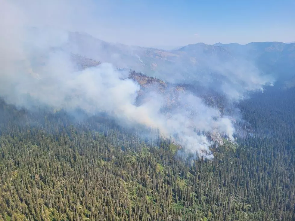
Red Flag Warning for Tuesday and Wednesday: 45 MPH Winds Possible
Gallatin County is enjoying cool daytime temps on Monday but much warmer temps, dry conditions and very gusty winds will call for Red Flag Warnings over most of Montana.
The rest of the week will be warm (highs in the 80s) with another cooling trend hitting the state by the end of the weekend. Ups and downs of Montana weather!!!
(We also have included a Fire Zone Map below for further detail on what specific areas are going to be affected.)
According to the National Weather Service:
- RED FLAG WARNING IN EFFECT FROM NOON TUESDAY TO MIDNIGHT WEDNESDAY NIGHT.
- IMPACTS: Low humidities, hot temperatures, strong gusty winds, and wind shift with a cold front, will create erratic fire behavior and possible new fire starts.
- AFFECTED AREA: In North Central WY Fire Zones...274...284. In South Central MT Fire Zones...123...124...125...126...127 128...129. In Southeast MT Fire Zones...130...131...132. In Southeast MT and Northwest SD Fire Zone....133.
- COUNTIES AFFECTED: In Central MT...Golden Valley...Musselshell...Wheatland. In North Central WY...Big Horn...Johnson...Sheridan...Washakie. In Northwest SD...Harding. In South Central MT...Big Horn...Carbon...Park...Stillwater Sweet Grass...Yellowstone. In Southeast MT...Carter...Custer...Fallon...Powder River Rosebud...Treasure. In Southwest MT...Gallatin.
- HUMIDITY: Upper teens to around 20 percent Tuesday, then in the teens to near 10 percent Wednesday.
- TEMPERATURES: Upper 70s to mid 80s Tuesday, then mid 80s to mid 90s Wednesday.
- WIND: West gusting 20-30 mph Tuesday, then 30-45 mph Wednesday.
- COLD FRONT: Arrives Wednesday afternoon or early evening, bringing a shift to gusty north winds. No precipitation is expected with the frontal passage.
- A Red Flag Warning means that critical fire weather conditions are either occurring now, or will shortly.
- A combination of strong winds, low relative humidity, and warm temperatures can contribute to extreme fire behavior.
More From The Moose 94.7 FM