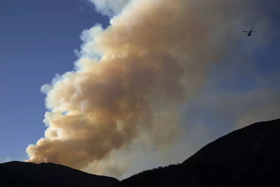
TUESDAY UPDATE: Bozeman and Livingston RED FLAG WARNING
The enemy is dry thunderstorms through Wednesday morning for a good chunk of SW Montana including the entire Bozeman and Livingston areas.
Very dry conditions, consistently hot temps and gusty winds are combining to make any thunderstorm potentially very dangerous. Any wildfires that begin can be extremely difficult to contain. Be extra diligent if you are in the back country. Watch for bad weather and have a safe route out.
According to the National Weather Service:
The National Weather Service in Great Falls has issued a Red Flag Warning for dry thunderstorms with gusty and erratic outflow winds, which is in effect from 6 PM this evening to 6 AM Wednesday.
- The Fire Weather Watch is no longer in effect.
- AFFECTED AREA...Fire Weather Zones 114, 116, 117 and 118. (please refer to the fire zone map below for location details)
- TIMING...6 PM Tuesday to 6 AM Wednesday.
- RELATIVE HUMIDITY...As low as 15 percent.
- TEMPERATURES...Highs in the mid 70s to lower 80s mountains...In the mid 80s to mid 90s on the plains and in valleys.
- LIGHTNING...Isolated to widely scattered strikes may cause new fire starts Tuesday evening into the overnight.
- IMPACTS...Fires can ignite quickly and easily and spread rapidly under these dry and breezy conditions.
- THUNDERSTORMS...Scattered thunderstorms, mainly dry.
- OUTFLOW WINDS...Gusty and erratic outflow winds up to 40 mph possible.
- A Red Flag Warning means that critical fire weather conditions are either occurring now, or will shortly.
- A combination of strong winds, low relative humidity, and warm temperatures can contribute to extreme fire behavior.
- Conditions and warnings have changed many times in the last few days and will probably continue to do so.
More From The Moose 94.7 FM