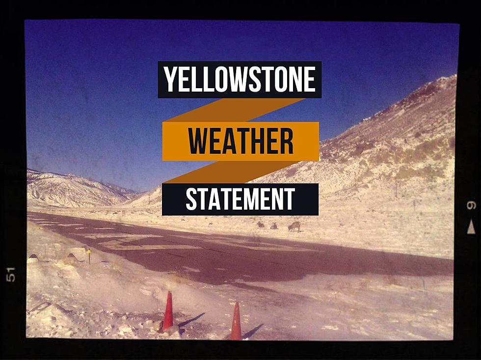
UPDATE: Southern Mountains to see 5″ by Noon Saturday
Southern Madison and Gallatin counties could see 5" or more above 6500 feet by mid-day Saturday. Slippery roads may be an issue if you're traveling south to Idaho.
According to the National Weather Service:
- WINTER WEATHER ADVISORY IN EFFECT FROM MIDNIGHT TONIGHT TO NOON SATURDAY ABOVE 6500 FEET.
- WHAT...Snow expected above 6500 feet. Total snow accumulations of 2 to 5 inches, with locally higher amounts possible.
- WHERE...Elevations above 6500 Feet in Gallatin and Madison Counties. This advisory does NOT include Bozeman, Ennis, Bozeman Pass, nor Norris Hill.
- WHEN...From midnight tonight to noon MDT Saturday.
- Plan on slippery road conditions and periods of reduced visibility, especially around sunrise into the morning hours. Outdoor recreationists will encounter cold and wet conditions.
- Snow will mostly accumulate on grassy surfaces. However, periods of heavier snow expected approaching sunrise into the morning hours may cause accumulation on roads.
- Slow down and use caution while traveling.
- The latest road conditions can be obtained by calling 5 1 1.
More From The Moose 94.7 FM