More Snow and Wind Through Monday Morning
A Monday morning traffic accident on Huffine Lane at the Cobb Hill Road/Circle F Trail intersection, near Four Corners, shows the harsh driving conditions greeting commuters as we start the week. The incident backed up westbound traffic past Love Lane.

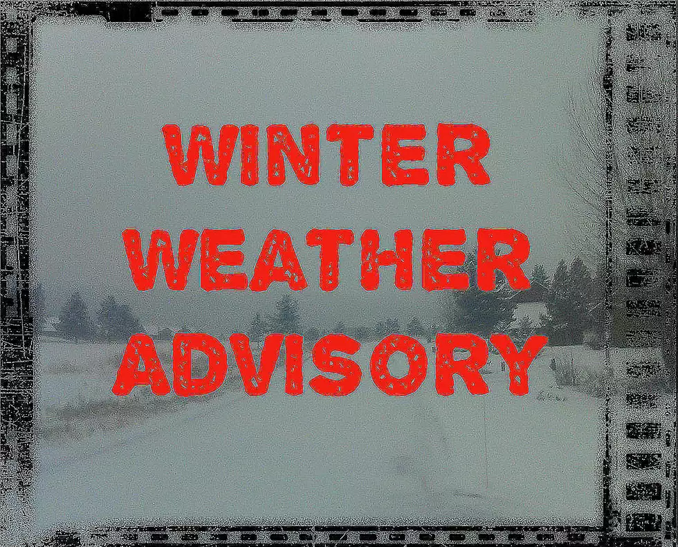
Gallatin County (and several others) will see a bit more snow, gusty winds and dropping temperatures through Monday as the Winter Weather Advisory expires at 11am.
Although the snow may taper off, temps are expected to drop and winds are expected to continue throughout the day.
According to the National Weather Service:
WINTER WEATHER ADVISORY REMAINS IN EFFECT UNTIL 11 AM MST THIS
MORNING.
- WHAT...Snow occurring. Additional snow accumulations of around an inch in the lower valleys, including the Bozeman and Helena areas with 2 to 4 inches of new snow accumulation in the mountains today.
- Northwest winds increase this morning and could locally gust to around 35 mph in the mountains, producing some blowing and drifting snow.
- WHERE...Portions of central, southwest and west central
Montana. - WHEN...Until 11 AM MST this morning.
- Plan on slippery road conditions. Areas of blowing snow could significantly reduce visibility, especially across Norris Hill and Monida Pass.
- Expect snow covered roads and limited visibilities, and use caution while driving.
- The latest road conditions can be obtained by calling 5 1 1.

More From The Moose 94.7 FM