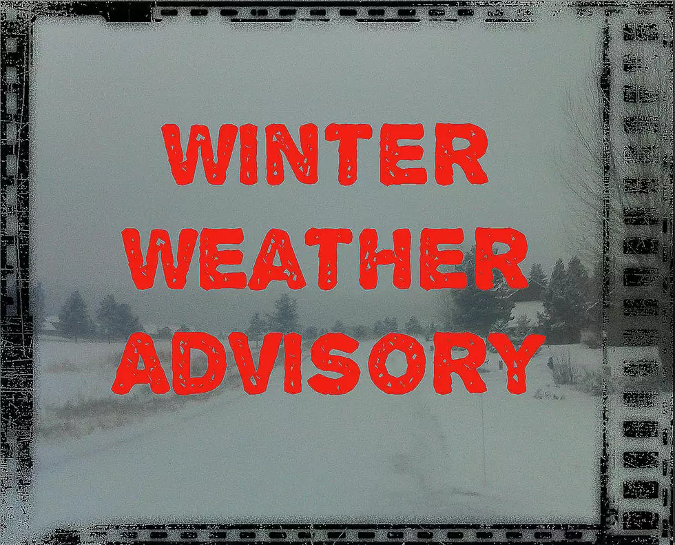
Dangerous Driving Conditions Through Tuesday Morning
Gallatin County will get up to 5" of snow and very gusty winds through Monday night until about 9am Tuesday morning. Even small amounts of snow combined with wind will create poor visibility.
Daytime high temperatures have been quite tolerable in recent days, but strong, sudden squalls have appeared out of nowhere. In a matter of minutes, peaceful afternoons have turned into temporary blizzards.
Gallatin County, along with several other counties in southwest Montana could see up to 5" of snow by Tuesday morning with wind gusts up to 35 MPH. Blowing and drifting snow will probably be an issue for drivers on the interstate AND in-town roads.
According to the National Weather Service:
- WINTER WEATHER ADVISORY REMAINS IN EFFECT FROM 5 PM THIS AFTERNOON TO 9 AM TUESDAY.
- WHAT'S HAPPENING WITH THIS WINTER WEATHER ADVISORY...Snow and blowing snow is expected with this storm. Snow totals will vary, but wind is expected to be a widespread issue.
- Total snow accumulations of up to 5 inches. Winds gusting as high as 35 mph.
- WHERE IS THIS WINTER WEATHER ADVISORY...Beaverhead, Central and Southern Lewis and Clark, Madison, Jefferson and Gallatin Counties.
- WHEN...From 5 PM Monday afternoon to 9 AM Tuesday.
- DETAILS ABOUT THIS WINTER WEATHER ADVISORY... Travelers and commuters should plan on slippery road conditions over mountain passes.
- Areas of blowing snow could significantly reduce visibility, in very little time. Conditions can change rapidly.
- ADDITIONAL DETAILS ABOUT THIS WINTER WEATHER ADVISORY...This event mostly impacts those traveling across mountain passes. Little, if any, snow accumulation is expected over larger cities within the advisory area.
- Please slow down and use caution while traveling, especially if you are towing anything or drive a high profile (tall) vehicle.
- The latest road conditions can be obtained by calling 5-1-1.
WORKING ON A RADIO TOWER
More From The Moose 94.7 FM


