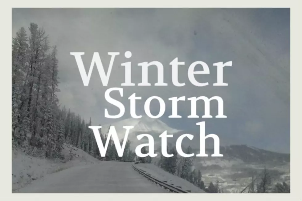
POW ALERT: 7″ More Mountain Snow by Wednesday Night
After a much needed snowy weekend, the Bozeman area mountains could get another 7" of snow by Wednesday evening and a few inches for the valley.
Remember: You can always check our regional SNOTEL and weather stations for up-to-the-minute snow levels and weather conditions. CHECK THE MAP HERE.
- WHAT: A Winter Weather Advisory has been issued by the National Weather Service in Great Falls.
- WHEN: This Winter Weather Advisory is currently in effect from 5pm Tuesday (2/2) until 11pm Wednesday (2/3).
- WHERE: This Winter Weather Advisory is for both Gallatin County and Madison County.
- HOW MUCH SNOW: The current forecast is calling for up to 7" of snow in the mountains and passes. The valley areas of Gallatin and Madison counties could get up 3" to 5" of accumulated snow during the advisory period.
- MOUNTAIN PASSES AFFECTED: Raynolds Pass, Bozeman Pass and
Targhee Pass may receive the heaviest amounts of snow with this storm. - WIND: Wind will be an issue with this storm. Gusts up to 35 MPH are expected at times. Blowing and drifting snow may reduce visibility at times to near zero.
- Use extra caution if you must travel during this time period, especially after dark.
- Always have the basics of your vehicle in good condition: tires inflated properly and in good condition, enough cold weather washer fluid and wipers (front and back) in healthy condition. They can make a world of difference in a snow storm.
- Cell service can be quite poor in certain rural areas so if you don't need to travel during period of heavy snow, avoid it until a later time. The fewer cars on the road, the better for the snowplows to get their work done safely.
What Grows Well in a Bozeman Garden
More From The Moose 94.7 FM