Montana is being full-on Montana this week with up to 14 inches of snow possible by Friday afternoon in the higher elevations from Helena up to Glacier National Park. Lower valleys could see up to 5 inches of snow.
The devastating wildfires of last year come with consequences later...bad weather that is expected today is prompting a Flash Flood Watch for Gallatin County. This Watch pertains strictly to the drainage areas of the Bridger Foothills Burn Scar Area.
Some counties are under a Winter Weather Advisory for snow with up to 4" possible in some higher elevations. The Bozeman area may experience a messy Friday morning commute.
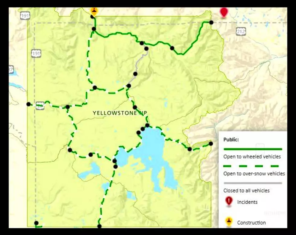
Southwest Montana isn't the only region to get wet on Monday afternoon. Yellowstone National Park is getting fresh snow and by Tuesday afternoon, 6 fresh inches of snow may fall.
A large area of southwest Montana will get dangerous winds gusts Sunday and Monday. Hazardous travel conditions and power outages from downed branches and trees are possible.
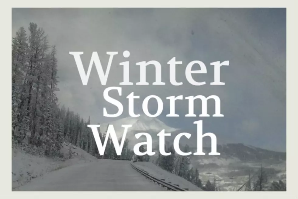
Psych! Thought it would stay this beautiful? Yellowstone National Park could see up to 8 inches of fresh mountain snow by Saturday. Just a heads up if you're heading there this weekend. Here's what we know...
The northern portion of Montana hasn't warmed up nearly as quickly as southwest Montana. Wednesday night and Thursday morning will bring very gusty winds, causing dangerous wind chills to several counties.