WEDNESDAY UPDATE: Red Flag Warning for Bozeman and Helena
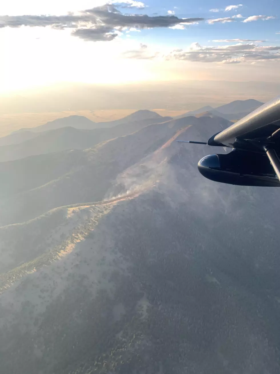
Thunderstorm activity in parts of southwest Montana are again our enemy. Lightning strikes could spark new wildfires and conditions are still very dangerous.
According to the National Weather Service:
RED FLAG WARNING REMAINS IN EFFECT UNTIL 9 PM MDT THIS EVENING FOR INCREASING THUNDERSTORM ACTIVITY FOR FIRE WEATHER ZONES 114, 116, 117, AND 118. (Please see the fire zone map below for more clarity on where the danger lies...)
Parts of southwest Montana have already seen thunderstorm activity in the early hours of Wednesday. Little moisture reported with these cells.
Glacier Park International Airport in northern Montana experienced cloud to ground lightning on Wednesday morning. A special weather statement was issued for that area until 8am for dangerous conditions.
Be very careful when in the back country. Conditions can change very rapidly. Always have a safe route out.
- TIMING...Through 9 PM MDT this evening.
- WINDS...Southwest 5 to 10 mph.
- RELATIVE HUMIDITY...As low as 20 percent.
- TEMPERATURES...Daytime temperatures consistently high throughout the region
- LIGHTNING...Widely scattered thunderstorms and isolated dry thunderstorms continue through this evening.
- IMPACTS...Fires can ignite quickly and easily and spread rapidly under these conditions with the increase in lightning preceded by very warm and dry conditions.
- OUTFLOW WINDS...Gusty and erratic outflow winds up to 40 mph possible.
- A Red Flag Warning means that critical fire weather conditions are either occurring now, or will shortly. A combination of strong winds, low relative humidity, and warm temperatures can contribute to extreme fire behavior.
A red flag warning is a forecast warning issued by the National Weather Service in the United States to inform the public, firefighters, and land management agencies that conditions are ideal for wildland fire combustion, and rapid spread.
More From The Moose 94.7 FM


