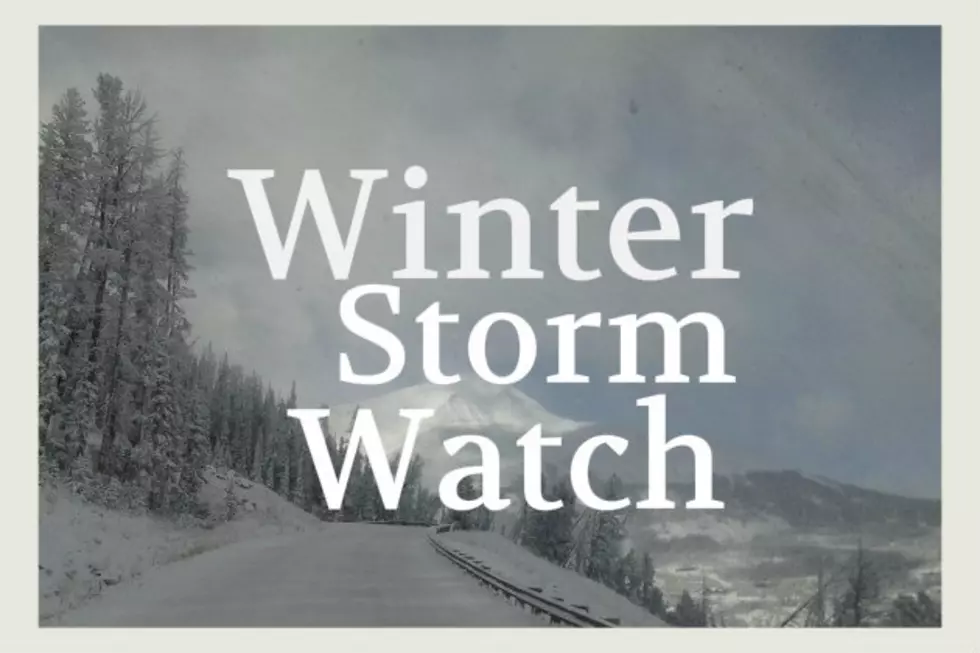
Some parts of southern Montana may get up to 10 fresh inches of snow this weekend. Southern Gallatin County, the Beartooth Foothills and the Red Lodge areas should be the winners of the end-of-season storm.
Montana is being full-on Montana this week with up to 14 inches of snow possible by Friday afternoon in the higher elevations from Helena up to Glacier National Park. Lower valleys could see up to 5 inches of snow.
Lots of snow is headed for our higher elevations this week. Very cold temperatures will affect just about all of Montana and Winter Storm Watches are in effect for several counties.
Yes, heavy snow is possible this weekend but most of it will fall above downtown Bozeman level. We talked about 6" possible IN TOWN but that doesn't look to be the case now.
Southern Gallatin and Madison counties will see snow and wind this weekend with up to 10 inches possible and gusts up to 35 mph. High elevations will be most affected.
We've got a Winter Storm Watch for the Bozeman area! The surrounding mountains are expected to receive several inches of snow...perhaps up to a FOOT by Thursday morning. Are you ready to shovel?